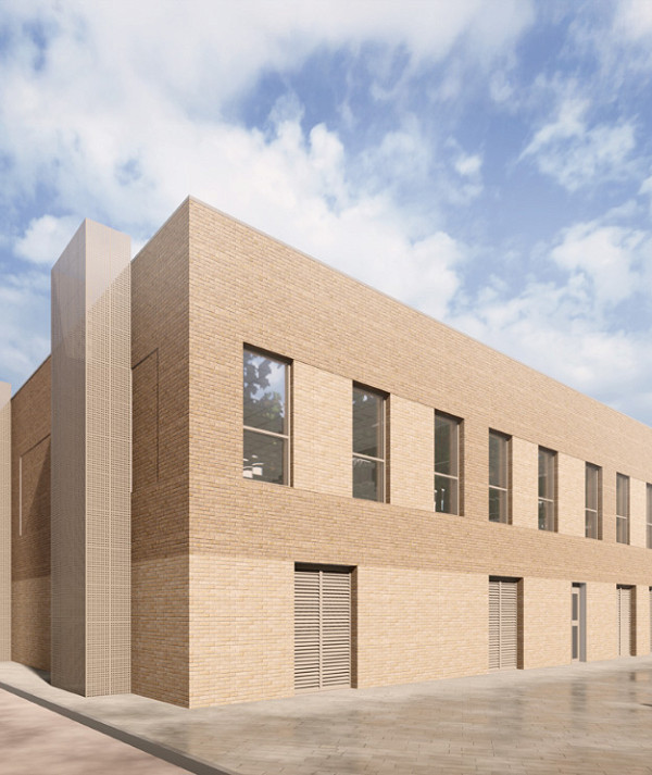
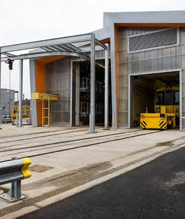
Location:Blue Lake Cliffs, Northfleet, Kent
 Client:Balfour Beatty Plc
 Value:£1 million
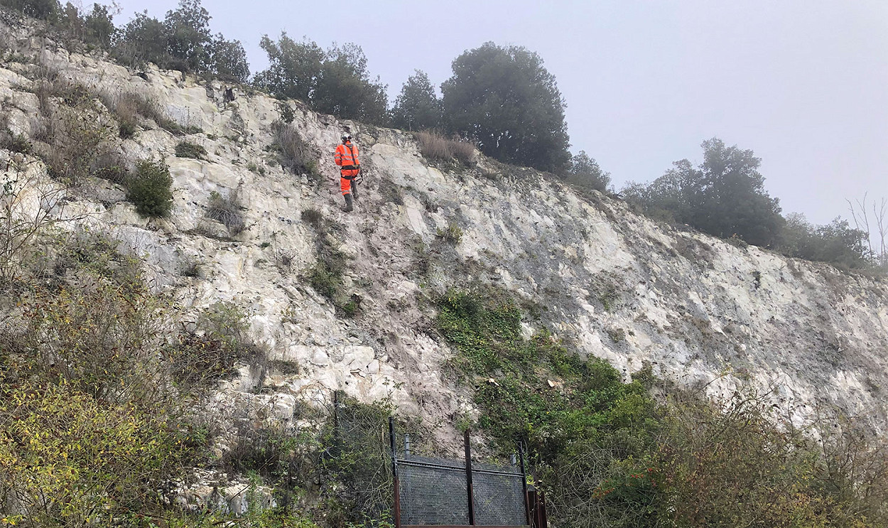
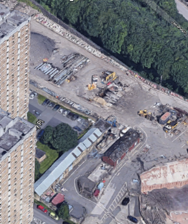
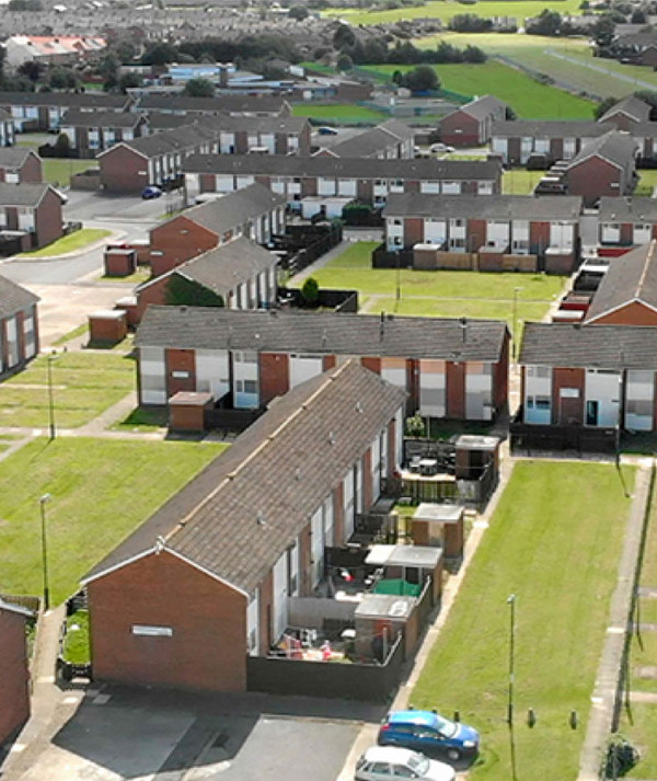
Sawyer Lake comprises a flooded chalk quarry now used for members only fishing. It was proposed to fill the lake to create a new residential development, with a new footpath to be constructed along the base of the cliff.
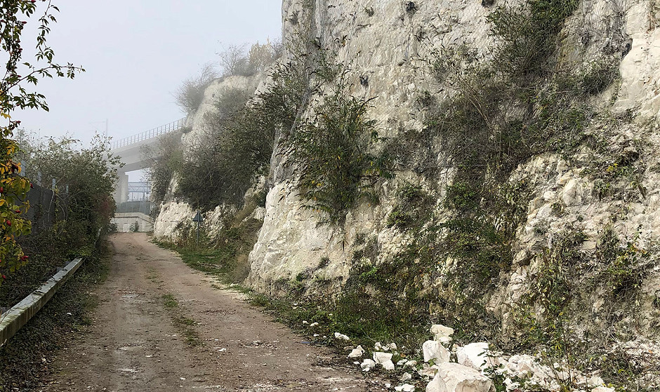
Given the evidence of instability in the cliff face, and its heavily overgrown nature in places, an assessment was required, along with stabilisation measures to ensure the safety of members of the public using footpath.
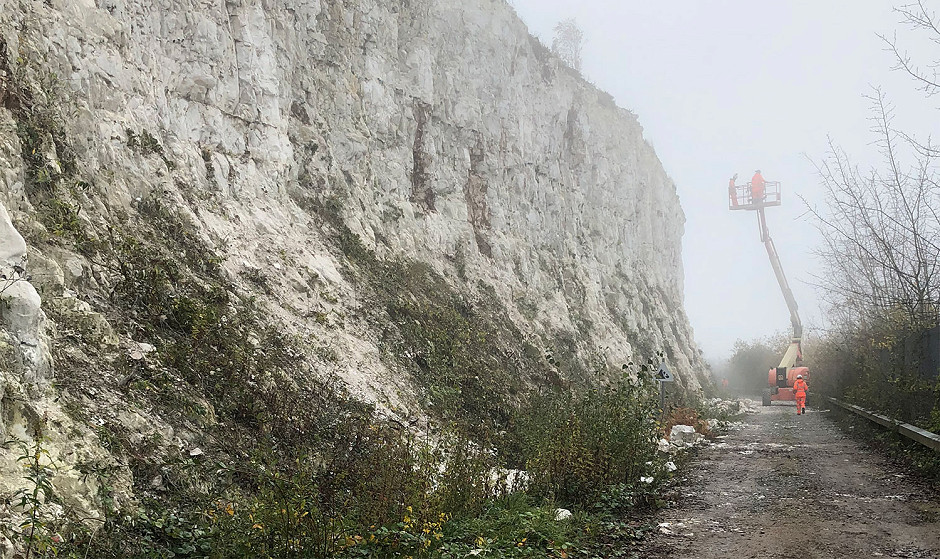
The top of the cliff is network rail property, with a railway line located approximately 10m to 15m from the crest of the cliff. As such, no access was available from the top of the cliff, with all assessments and remedial works, being carried out from the narrow track at the base. Space was further limited at the base of the cliff, with deep water present adjacent to the southern edge of the track.
Alan Wood and Partners were appointed to provide geotechnical advice in relation to the stability of the existing cliff. Initial works comprised an appraisal of the current site condition, identifying areas where fallen debris, loose blocks, and heavy vegetation were present. Using information obtained on site, we were able to provide a remedial measures design report outlining areas of the site where remediation was required. A full vegetation strip, along with descaling any loose blocks, was required prior to installation of rock bolts and rock netting. Alan Wood and Partners geotechnical engineers also carried out frequent visits to site during the installation of remedial measures.
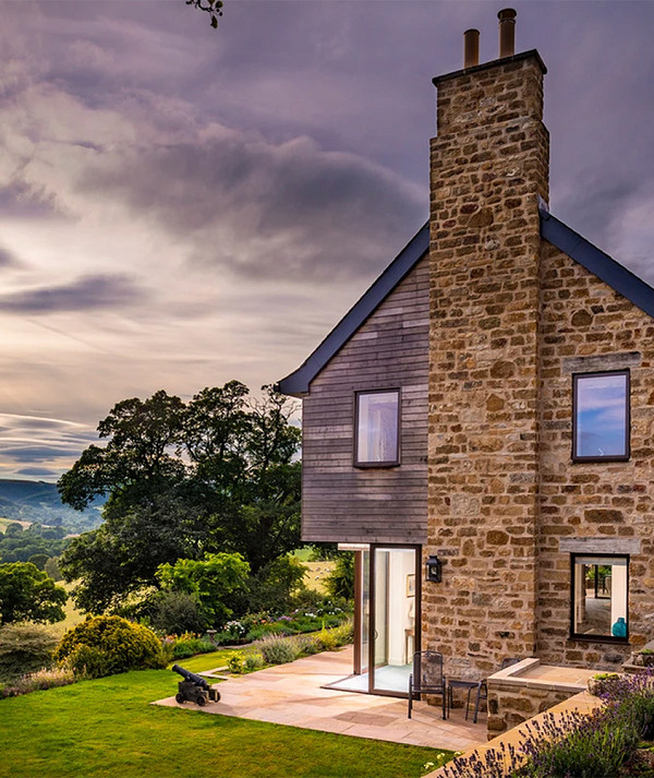
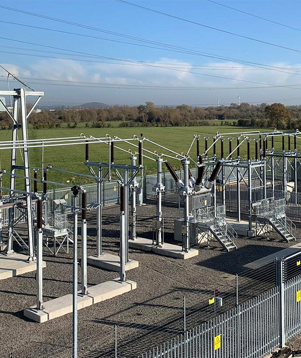
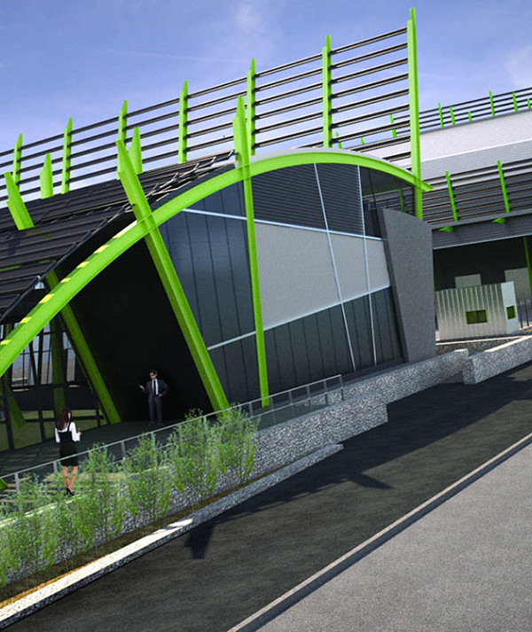
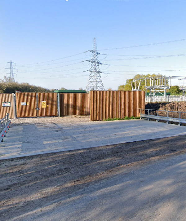
Other projects